UN
9a Bishopric
£ 105,000
Description
We don't have a Description for this property.
- Bedrooms
- 2
- Bathrooms
- 0
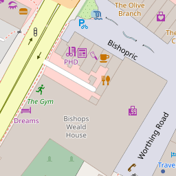
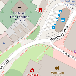
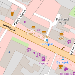
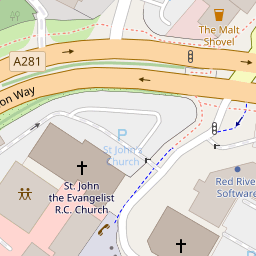
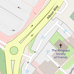

Leaflet © OpenStreetMap contributors
The heatmap indicates the level of crime in the area. The color of the heatmap indicates the crime severity and recency.
Metrics Year-on-Year
- Average area value
- 440,355.00 £Increased by 22.81 %
- Average area rental value
- 1,327.00 £/moDecreased by 4.33 %
- Est rental Yield
- 3.62 %Decreased by 21.98 %
- Crime Rate
- 48.00 %Unchanged by 0.00 %
from 358,557.00 £
from 1,387.00 £/mo
from 4.64 %
from 48.00 %
Nearby Schools
| Name | Type | Ofsted | Distance |
|---|---|---|---|
| St Mary'S Cofe (Aided) Primary School | Voluntary Aided School | Good | 0.57 KM |
| Greenway Academy | Academy Converter | Good | 0.85 KM |
| Trafalgar Community Infant School | Community School | Good | 0.86 KM |
| The Needles Children & Family Centre | Children's Centre | 0.97 KM | |
| St John'S Catholic Primary School | Voluntary Aided School | Good | 0.99 KM |
Images
Nearby Streets
| Name | Average Price | Average Sqft | Distance |
|---|---|---|---|
| Albion Way | £ 0 | 0 | 0.00 KM |
| Swan Walk | £ 0 | 0 | 0.00 KM |
| Percy Road | £ 450,000 | 0 | 0.00 KM |
| Hamilton Road | £ 424,988 | 0 | 0.00 KM |
| Lynwood Court | £ 250,000 | 0 | 0.00 KM |
Nearby Transport
| Name | NLC | TLC | Distance |
|---|---|---|---|
| Horsham | 5309 | HRH | 1.54 KM |
| Warnham | 5316 | WNH | 3.29 KM |
| Littlehaven | 5498 | LVN | 3.30 KM |
| Christs Hospital | 5319 | CHH | 3.67 KM |
| Faygate | 5493 | FGT | 8.53 KM |
Nearby Listings
| Address | Price | Type | Score | Distance |
|---|---|---|---|---|
| Worthing Road, Horsham, West Sussex | £ 230,000 | BUY | Unknown | 0.06 KM |
| Worthing Road, Horsham, West Sussex, RH12 1HP | £ 395,000 | BUY | Unknown | 0.07 KM |
| Albion Way, Horsham, RH12 | £ 365,000 | BUY | 7 / 10 | 0.07 KM |
| Springfield Road, Horsham, West Sussex, RH12 | £ 280,000 | BUY | Unknown | 0.08 KM |
| Springfield Road, Horsham, West Sussex, RH12 | £ 280,000 | BUY | Unknown | 0.08 KM |
Nearby Properties
| Address | Price | Distance |
|---|---|---|
| 9a Bishopric | £ 105,000 | 0.00 KM |
| 7a Bishopric | £ 180,000 | 0.00 KM |
| 11a Bishopric | £ 365,000 | 0.01 KM |
| 54 Kings Gate | £ 176,500 | 0.10 KM |
| 40 Kings Gate | £ 349,950 | 0.10 KM |